Urbano
A new tool to promote mobility-aware urban design, active transportation modeling and access analysis for amenities and public transport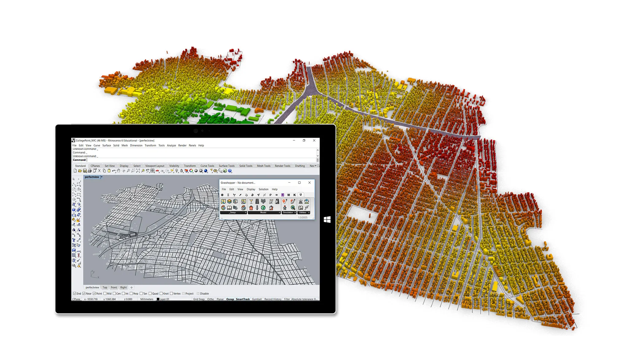
Urbano
Urban data analysis and mobility simulations
- Authors: Dogan, Samaranayake, Yang, Saraf
- Date: 2018 - Ongoing
- Link: Website
Rapid urbanization, with new global construction estimated to be 250 times the floor area of NYC by 2050, is increasing traffic congestion, pollution and related health threats. This is a worrisome development but also a unique opportunity to improve urban mobility and quality of life. Understanding consequences of urban design choices on mobility, sustainability, and health is a necessity and requires development of a framework that enables such co-design processes. Existing transportation modelling tools are detached from the design process as they require technical expertise in traffic modelling, extensive preprocessing steps and heavy computational power, all of which make it difficult to be accessed by urban planners and designers. We propose a new, easy to use, CAD integrated, design-toolkit, called "Urbano", to model active transportation and to evaluate access to amenities and public transport. Urbano introduces a fully automated workflow to load in contextual GIS, OpenStreetMap and Google Places data to set up an urban mobility model. Kicking off by computing validated walkability metrics like a more flexible and modifiable version of the Walkscore, the tool will include other urban scale mobility metrics to aid the urban design process.